- Depok, Jawa Barat
- Email: [email protected]
- Mon-Sat: 9.00 to 20.00
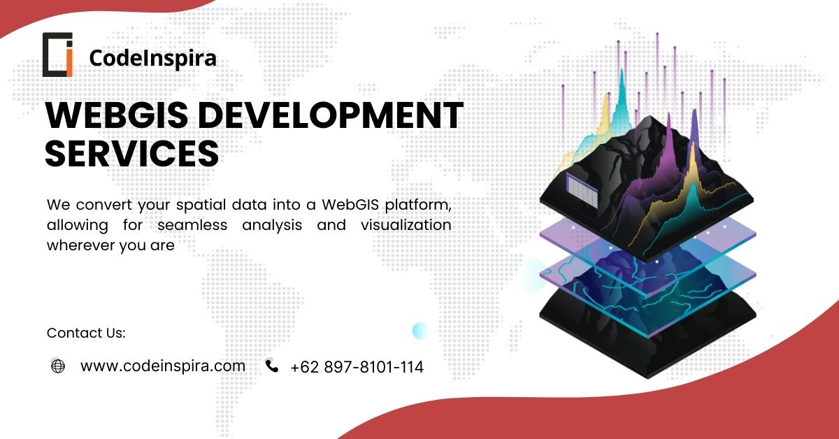
WebGIS Development Services
PT. Codeinspira Teknologi Nusantara delivers cutting-edge WebGIS (Web Geographic Information System) development services designed for all project scales—from startups to enterprise-level implementations.
Utilizing the latest geospatial technologies and responsive web design, we build interactive digital mapping platforms that are fast, scalable, and accessible across devices, anytime and anywhere.
Create your fully customized WebGIS solution for spatial mapping, land management, project monitoring, agriculture, forestry, energy, mining, infrastructure, and asset tracking with our expert team.
Key WebGIS Features We Offer
Standard Features – Core Mapping Functions
Designed for entry-level projects and essential spatial visualization.
Medium Features – Enhanced Management Tools
Perfect for SMEs, government bodies, and private companies with complex spatial data.
- Secure user authentication with role-based access control
- CMS for managing spatial datasets (import/export, edit layers)
- Data export options: PDF, CSV, PNG
- Interactive legends and layer visibility toggle
- Point clustering for dense geodata
- Analytical charts: bar, pie, line
- Query builder for dynamic filtering and reporting
- Layer versioning and rollback support
- Integrated metadata management for GIS layers
- Topology rules enforcement: no overlaps, gaps, or slivers
- Audit log system to track changes to geospatial data
Expert Features – Enterprise-Grade GIS Functionality
Built for enterprise, research, and national-scale GIS systems.
- Spatial analysis tools: buffer, union, intersect, routing, area calculation
- Real-time data integration (IoT sensors, GPS trackers, drones)
- Integration with external survey tools (mobile data collection, GNSS)
- High-resolution satellite and drone imagery support
- Dynamic routing and network analysis (shortest path, service areas)Full analytics dashboard with heatmaps, data trends, and visual reports
- Direct download of filtered or analyzed data
- Custom report builder (auto-generate PDF reports from selected map views)
- External API integration: weather, disaster data, government open data
- Multilevel admin panel with granular access rights
- 3D WebGIS Visualization using CesiumJS or similar tools
- Spatial conflict detection (e.g., zoning overlaps, restricted area breaches)
- Scheduled data backups and cloud syncbronization
Industries That Benefit from WebGIS
Our WebGIS development services are tailored for a wide range of sectors:
Government & Municipal Planning (Urban, Land Use, Forestry, Environment)
Energy, Mining, Oil & Gas
Agriculture & Plantation Companies
Real Estate & Infrastructure Developers
Research Institutions & Geospatial Startups
Transportation & Logistics
Disaster Risk Management & Public Safety
Environmental Monitoring & Climate Projects
Utilities & Asset Management Firms
NGO and Humanitarian Mapping Projects
Why Choose Codeinspira for WebGIS Development?
Key reasons to partner with Codeinspira:
Expert Team – Skilled professionals in GIS, Full-Stack Development, and UI/UX Design
Modern, Responsive Design – Fully mobile-friendly for seamless access across devices
Advanced Mapping Tools – Powered by Leaflet, Mapbox, OpenLayers, and CesiumJS
Multi-Format Data Support – SHP, GeoJSON, KML, CSV, TIFF, GPX, and more
Flexible Hosting – Deployable on cloud servers (AWS, GCP, Azure) or on-premise infrastructure
Ongoing Maintenance – Full support, bug fixing, and long-term feature upgrades
Scalable Architecture – Built to grow with your organization and data volume
Topological Consistency Checks – Ensure spatial data integrity and topology validation
Map Swapping Feature – Switch between base maps (satellite, terrain, custom) seamlessly
📞 Let’s Build Your WebGIS Platform Today!
Partner with Codeinspira to transform your geospatial data into a powerful, user-friendly, and intelligent digital mapping system.
Get free consultation, technical planning, and a roadmap tailored to your project's needs.
👉 Contact us now and bring your mapping vision to life with expert support and scalable technology!
Working Challenge Digital Transformation
Kepuasan klien adalah prioritas utama kami. Kami berfokus pada penyediaan layanan yang profesional, responsif, dan personal, memastikan bahwa setiap kebutuhan klien terpenuhi.
